
GeoLink
Transform Location Intelligence Into Actionable Insights
About GeoLink
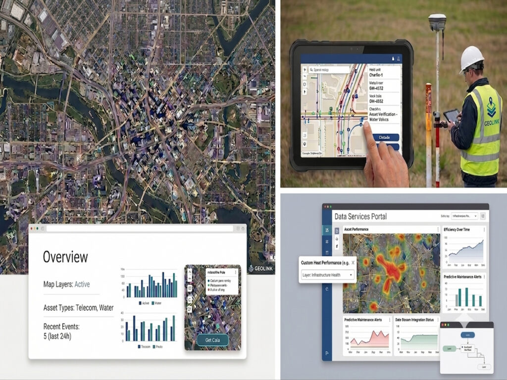
GeoLink is a geospatial technology company transforming how organizations leverage location intelligence. We deliver innovative GIS, mapping, and spatial solutions that help businesses and government agencies visualize, analyze, and manage real-world assets and infrastructure. Our deep expertise in geospatial consulting, enterprise GIS implementation, and digital mapping enables smarter decisions and operational efficiency across telecommunications, utilities, transportation, environmental management, and government sectors.
We believe that intelligent geospatial technology is the foundation for modern infrastructure management and strategic decision-making. By combining cutting-edge GIS solutions with comprehensive training and technical support, we empower organizations to unlock the full potential of their location-based data. Whether you’re managing critical infrastructure networks or optimizing asset operations, we provide the expertise, tools, and support needed to succeed in an increasingly complex geospatial landscape.
Our Services

Geospatial Consulting & GIS Solutions
Enterprise GIS implementation, digital mapping, and geospatial intelligence consulting designed to help organizations visualize and analyze location-based data for informed decision-making. We provide strategic guidance and technical expertise to maximize the value of your geospatial investments.
Infrastructure & Asset Intelligence
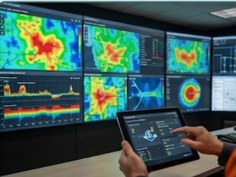
GeoLink delivers spatial data management, asset mapping, and geospatial intelligence solutions for infrastructure, utilities, telecommunications, transportation, and environmental applications. Our solutions help organizations improve asset visibility, optimize operations, and make informed decisions through location-based insights.
GIS Training & Technical Support
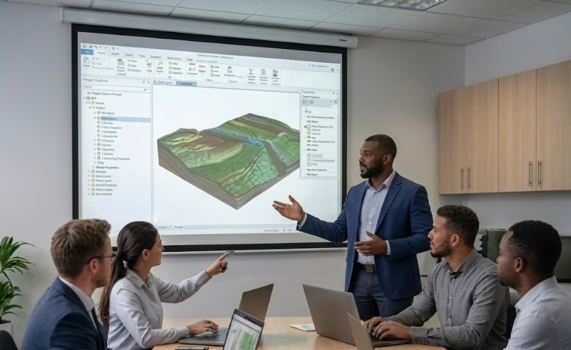
Professional GIS training programs and ongoing technical support to empower your team with geospatial expertise and industry best practices. We help your organization build internal capabilities and maximize the effectiveness of your GIS investments.